Precision
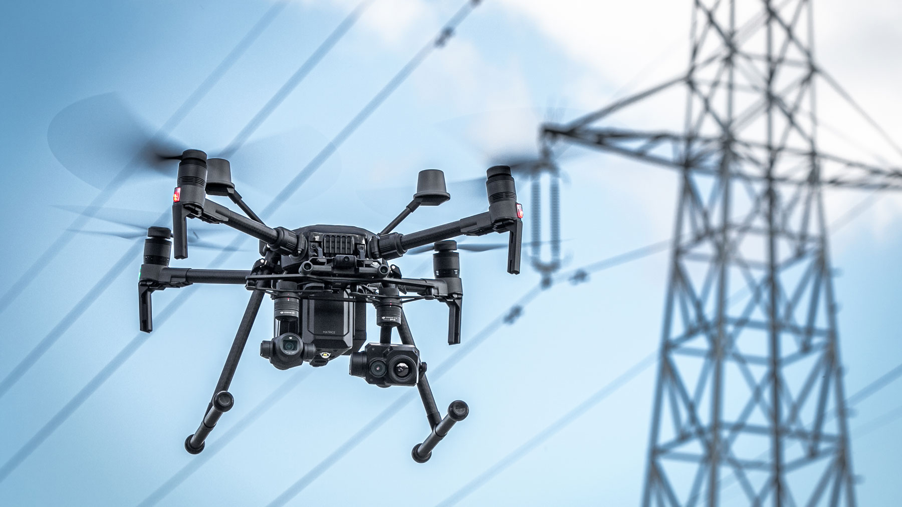
See the details about the anomalies in an unprecedent manner with the thermal and high resolution images acquired by the drone on board vision systems. Complex LIDAR Systems can be used for precision tower and power lines corridor mapping.
Safety
Significantly reduce health and safety risks without the need of having people climbing the towers in order to perform inspections. Our teams maintain safe distance from the towers, while enhancing the inspection efficiency with the real-time data transmitted to the ground station.
Costs
Reduce human resource costs by automating the inspection process and achieving a larger number of towers inspected per day than in a traditional way
Productivity
Ensure continuous productivity during the entire inspection process the power lines remain fully functional as no service interruptions are required.
Full network segment inspection in just 4 steps
Plan
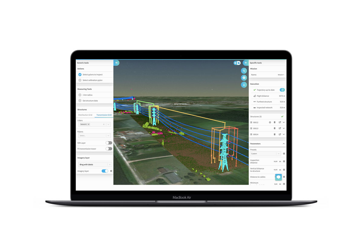
We generate standardized and optimized flight plans around the transmission segment, based on grid data inputs (LIDAR)
Fly
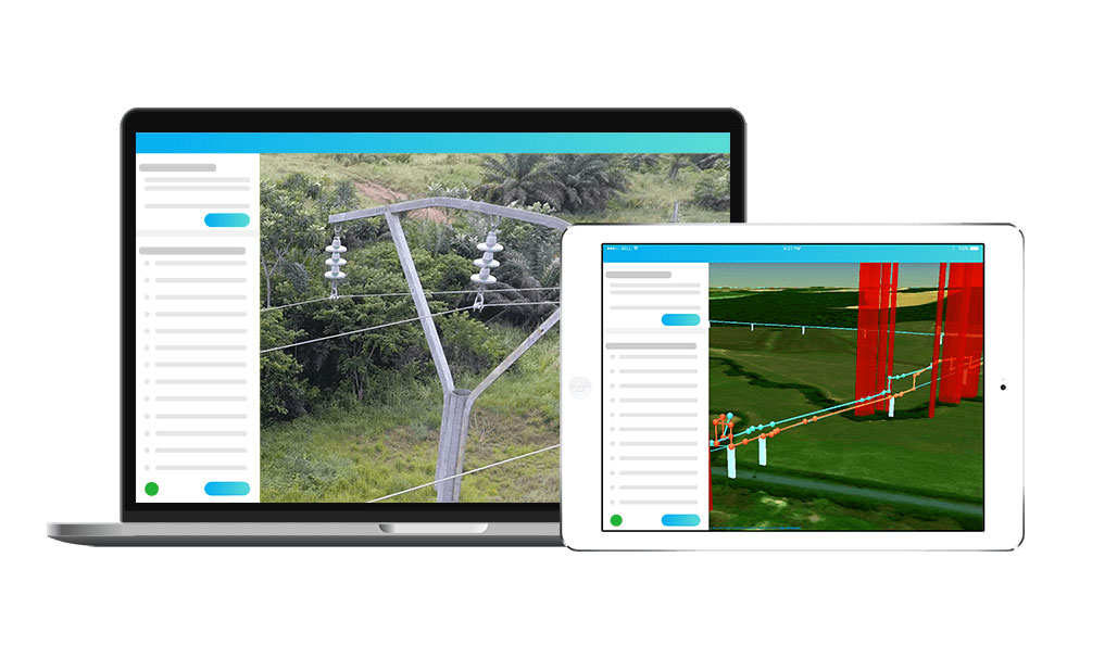
Based on each tower model, the flight is being executed in such way that all areas are covered and valuable data is being acquired in order to identify even the smallest defects.
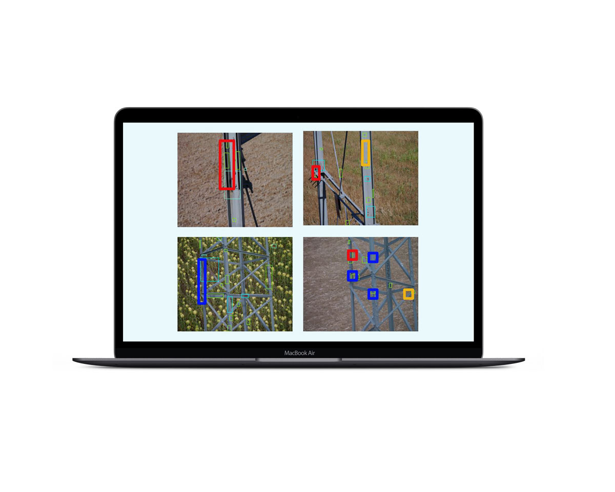
Analyze
Process the acquired data and label each defect based on the severity. A preliminary defect analysis is being performed with the help of highly developed Artificial Intelligence algorithms, leading to an increased rate of defect identification.
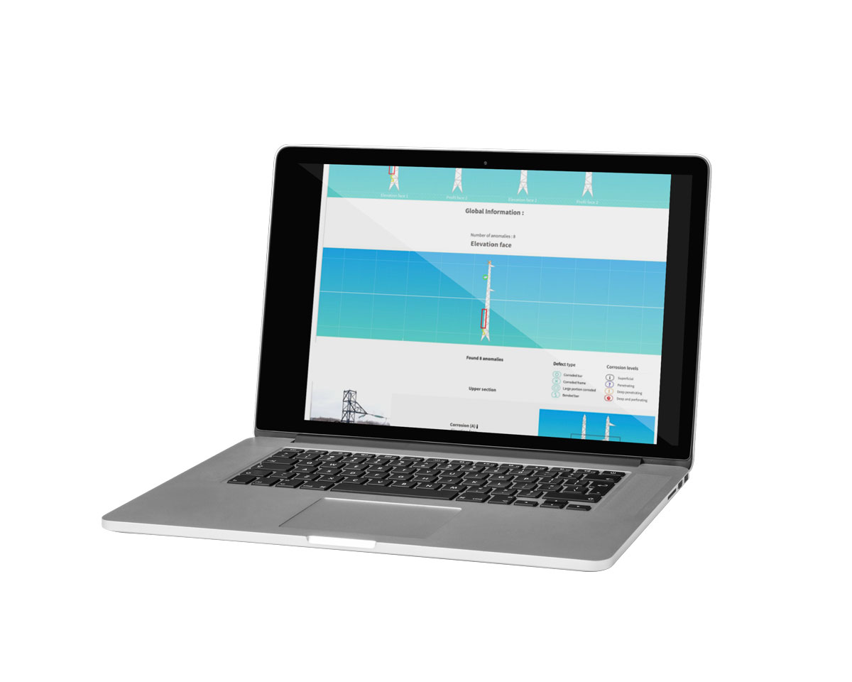
Report
The identified defects are being grouped by severity and position on the inspected element, in order to provide a comprehensive overview of the entire structure health status.
