Increase the quality of work
Construction industry is based on human interaction between the project stakeholders. Our drones, together with the integrated digital tools, help increase the quality of work, improve efficiency, reduce costs and health and safety risks, perform accurate area mapping, terrain 3D modeling, and construction site digitalization with the help of our highly advanced service solutions.
Applications
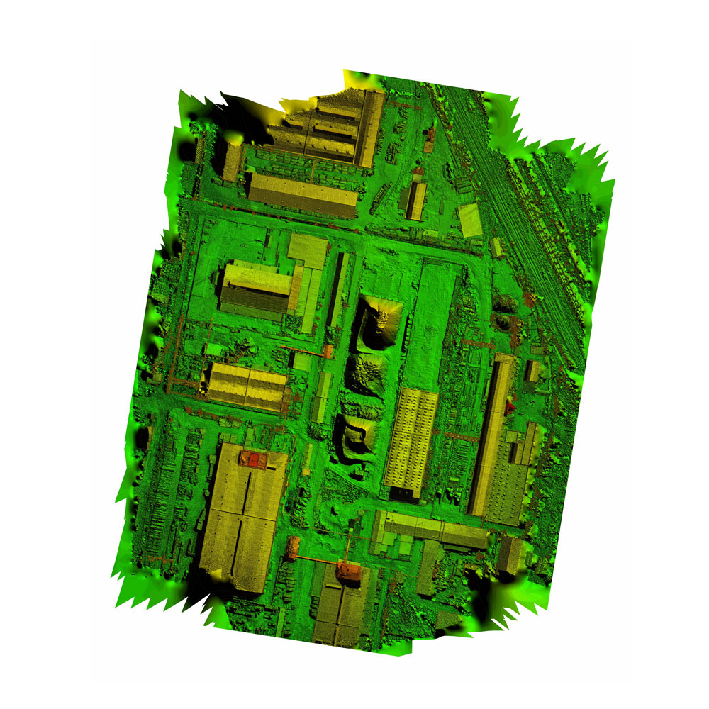
Area mapping and terrain modeling
Having the ability to capture a large amount of data in a relatively short time, the use of drones in this domain can be very effective, ensuring project accuracy, timeliness and cost effectiveness. High resolution data can be processed in order to generate survey grade accuracy complex 3D surface or terrain models – DSM or DTM
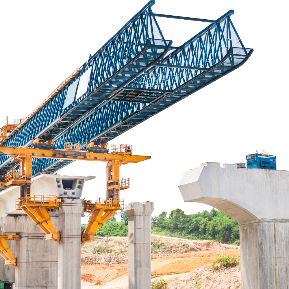
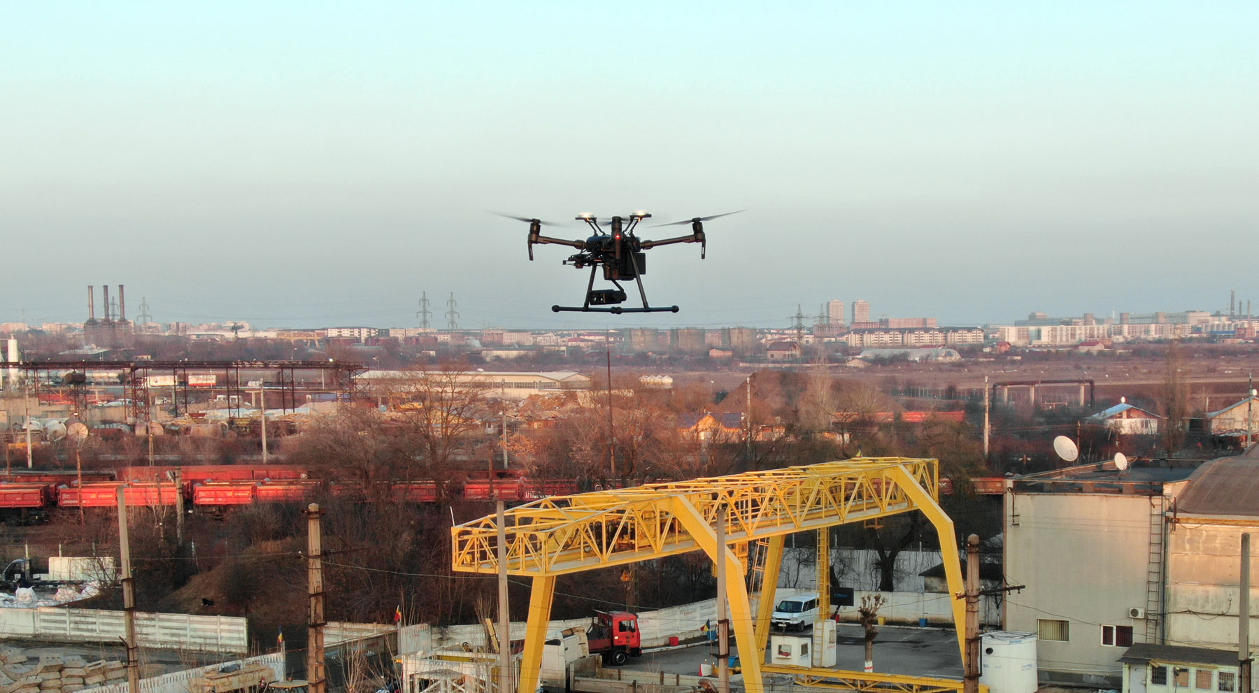
Construction site surveillance
Either on monitoring the execution and progress of construction sites, or performing detailed inspection of special structures such as bridges, dams or railway infrastructure, our drone solutions aid in the creation of detailed models and measurements. Technical inspections for defects identifications can be performed at a fraction of the cost and with lower risks than using manned inspections.